


Stage 8.03 Idstein - Frankfurt (Hohemark)

32.9km
Distance

-
Walking time

674m
Total climb

613m
Total descent
Trail surface
Photos
 Add/edit photos


Stage description
On damp autumn days, the ground can be wet and slippery, so it’s a good idea to use walking sticks.
Informative regarding glassblowing (glassworks) and the Romans (Limes). Good for exercise. Once the Feldberghaus has been renovated, it will once again offer excellent dining at the summit. The destination itself is also lovely and interesting, with the restaurant and the International School.


Hiking maps
- Kompass Karte 828: Frankfurt und Umgebung (1:50.000)
Marking
-
 Andreaskreuz / E1
Along the route
| From start | Typ | Place / information | Off route |
|---|---|---|---|
| 0.87 km |
Idstein
Rail
Bus
Hotel
Guesthouse / B&B
Shelter
Supermarket
Convenience store
Bakery
Butcher
Greengrocer
Deli
Water
Toilet
|
||
Public transport
Food shopping
|
|||
| 4.45 km | Summit – Heidekopf (Elevation: 430 m) | 50 m | |
| 11.24 km |
Schloßborn
Bus
Bakery
Water
|
30 m | |
Public transport
Food shopping
|
|||
| 14.80 km |
Glashütten
Bus
Hotel
Supermarket
Bakery
|
||
Public transport
Food shopping
|
|||
| 18.28 km |
Rotes Kreuz
Bus
|
||
|
|||
| 19.22 km | Spring – Weilquelle (Not drinking water) | ||
| 19.66 km | Drinking water – Feldbergborn | ||
| 20.48 km | Bus stop – Großer Feldberg | 30 m | |
| 20.55 km | Summit – Großer Feldberg (Elevation: 880 m) | 20 m | |
| 20.56 km | Toilet (Fee required · Mo-Su,PH 00:00-24:00) | 20 m | |
| 21.30 km | Bus stop – Windeck | ||
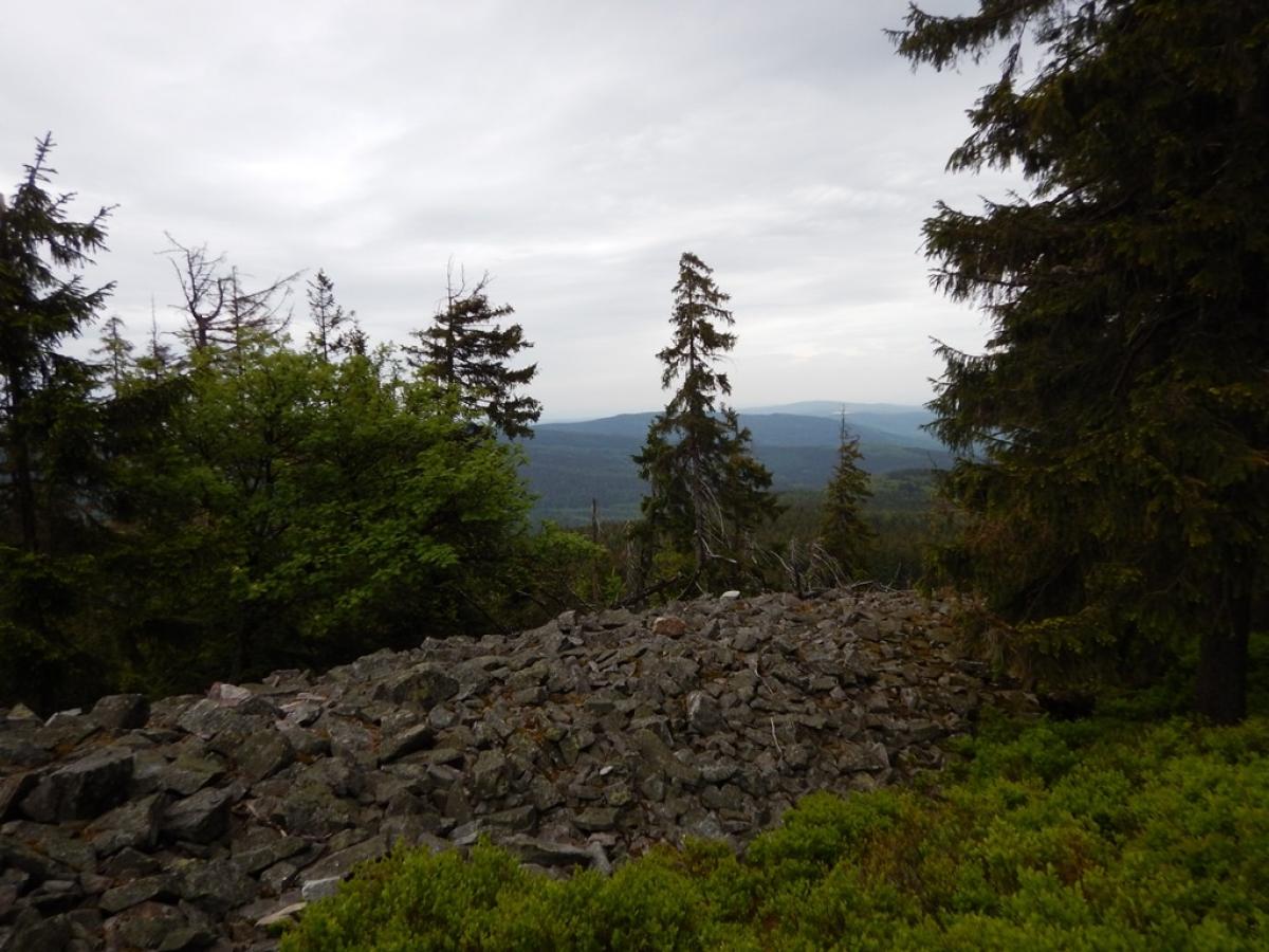
| 25.71 km | Summit – Altkönig (Elevation: 798 m) | 20 m | |
| 32.93 km |
Oberursel-Nord
Rail
Bus
Hotel
|
1.4 km | |
Accommodation (1)
Public transport
|
|||


Data in the table is based on OpenStreetMap and is automatically updated. Please verify critical information locally.
Accommodation
 Add accommodation
|
Gasthof Kern
Idstein - Oberauroff
Price group:
|
|
DJH Jugendherberge Oberreifenberg
Schmitten-Oberreifenberg
Price group:
|
|
Parkhotel am Taunus
Oberursel
Price group:
|
Sights

Großer Feldberg
The European long-distance paths E1 and E3 meet on the 879m high Großer Feldberg. On the summit there is, among other things, a 40m high observation tower, a transmission mast of the Hessischer Rundfunk and gastronomic facilities. There is also a bus stop for bus line 57 ((Bad Homburg -) Oberursel-Hohemark - Oberreifenberg - Großer Feldberg - Königstein), which can be used to reach public transport stations.
To the Wikipedia article
Schedules of the RMV incl. bus line 57
Sources and copyright
GPX track coordinates, metadata: © OpenStreetMap contributors. Published under Open Database License (ODbL)GPX-Downloads
You can use the GPX track for navigation and tour planning on your digital device (GPS, smartphone, online tour planner).
| Stage 8.03 Idstein - Frankfurt (Hohemark) | Download (.gpx) |
| All tracks in Germany | Download (.zip) |
The download and many of the services offered on this page are free of charge. However, I would greatly appreciate a small donation as a token of appreciation for my work! This can be done through Paypal or a supporting membership. Thank you very much!



Comments
Please log in to comment.