Download


E1 in Denmark
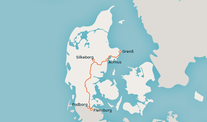
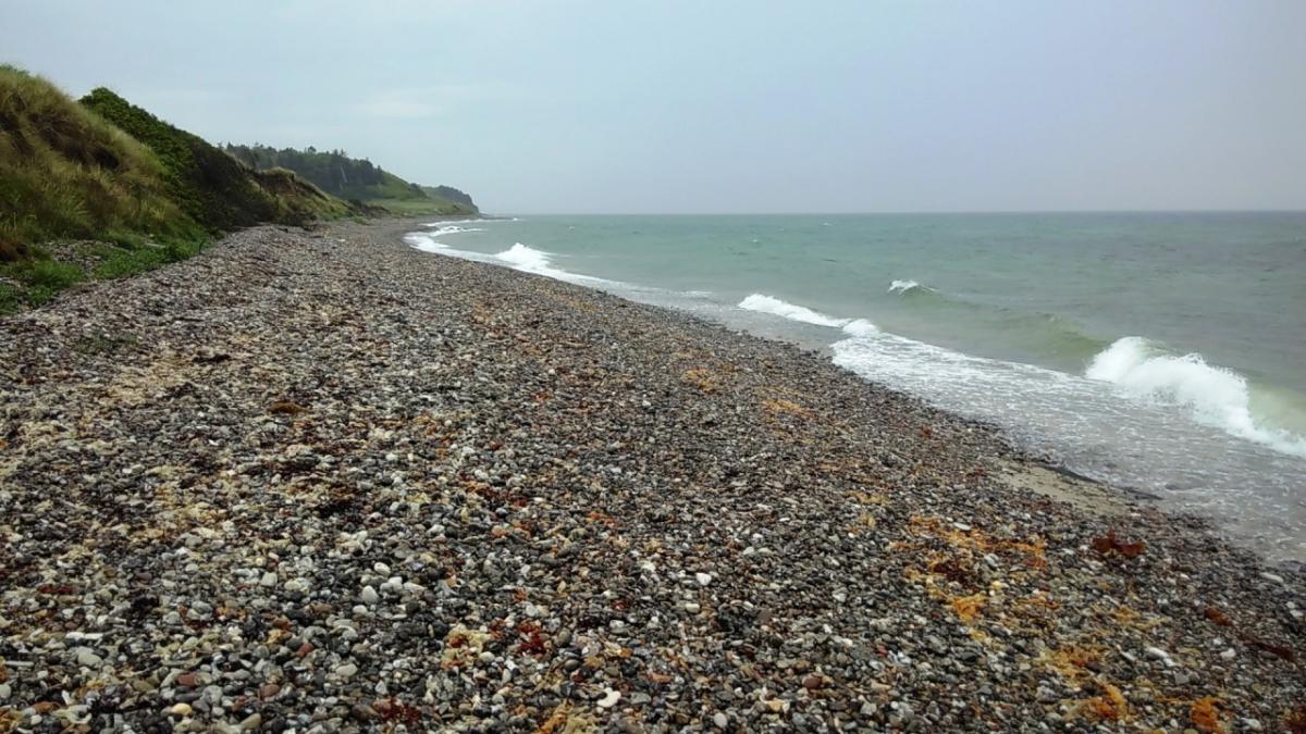
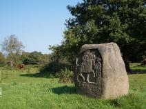
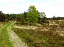
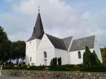
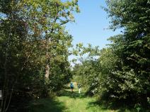
The E1 in Denmark has a total length of about 375 km und is divided into 16 stages
The E1 leads from Grenå on the Molsroute to Århus. It continues on the trail Århus - Silkeborg close to Silkeborg. After a short section on the trail Silkeborg - Horsens it continues from Vrads on the Hærvejen to Padborg.
The devision of these stages is based on the information in the linked sources.
 Show authors

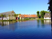
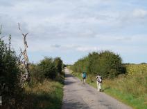
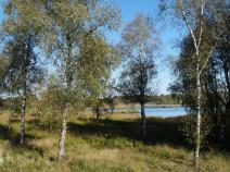
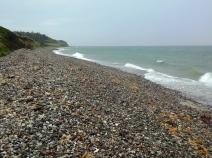



Stage overview
Links
Links, hiking reports and blogs
Dänische Wandervereinigung
www.haervej.com
Info about the Ancient Road Hærvejen
waymarkedtrails.org - Denmark
Route of the E1 in Denmark on an OpenStreetMap including GPX download
udinaturen.dk
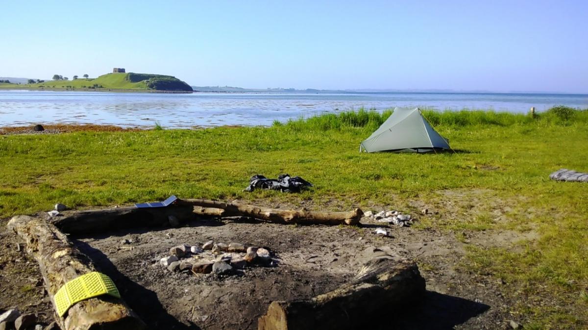
List of "primitive campsites" (danish)
friluftsraadet.dk
Information about camping on "primitive campsites" (danish)
Shelter App
Mobile directory of shelters and campsites
Netzwerk Weitwandern
A report from a hike on the E1 in Denmark (german)
Literature


GPX-Download
| All E1-Stages in Denmark | Download Tracks (.gpx) |
| Accomodation in Denmark | Download POIs (.gpx) |
The download and many of the services offered on this page are free of charge. However, I would greatly appreciate a small donation as a token of appreciation for my work! This can be done through Paypal or a supporting membership. Thank you very much!