E1 in Italy
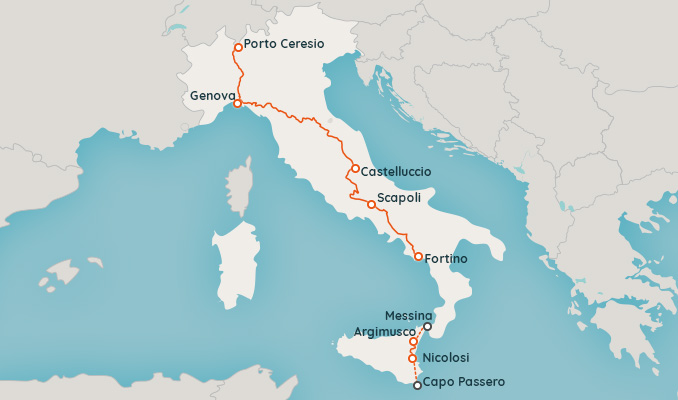
The E1 has not yet been fully finalized in Italy. In its planned length, the E1 will run from Porto Ceresio on Lake Lugano on the border with Switzerland to Capo Passero in Sicily.
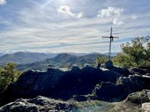
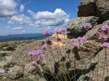
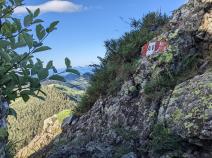
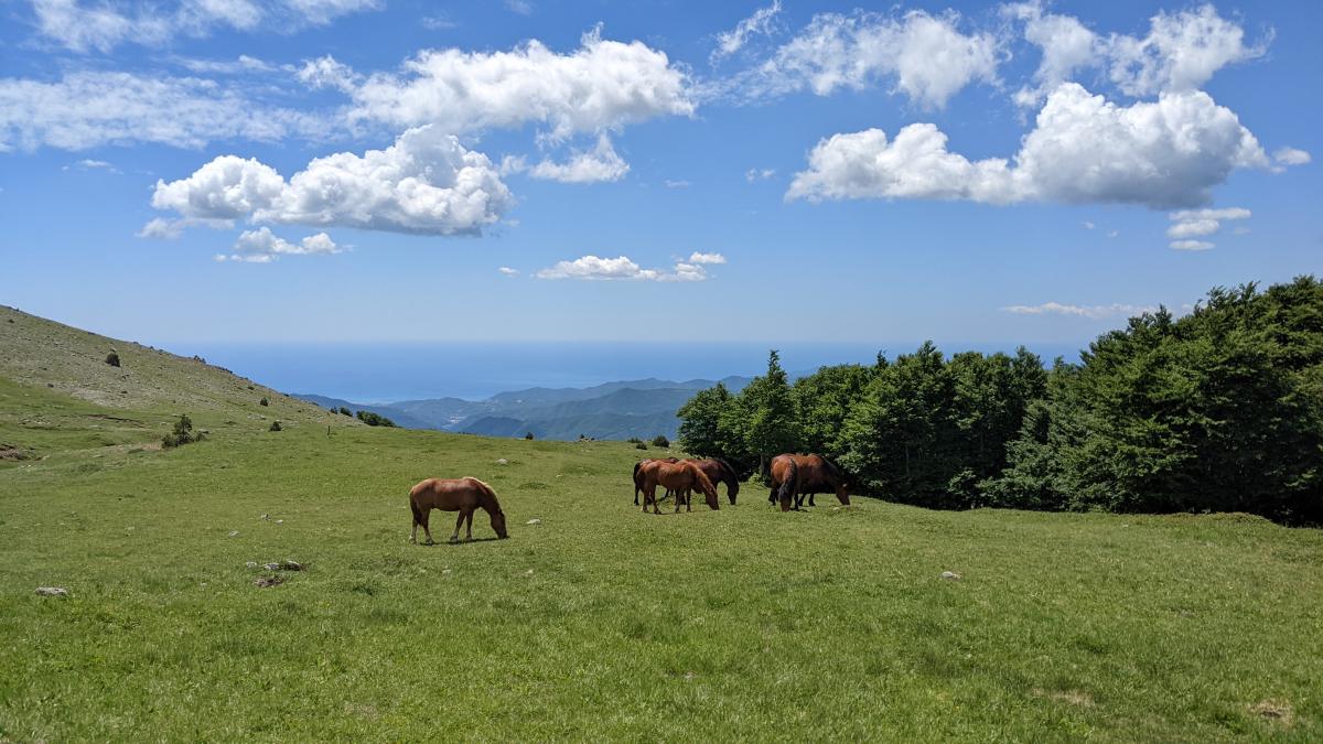
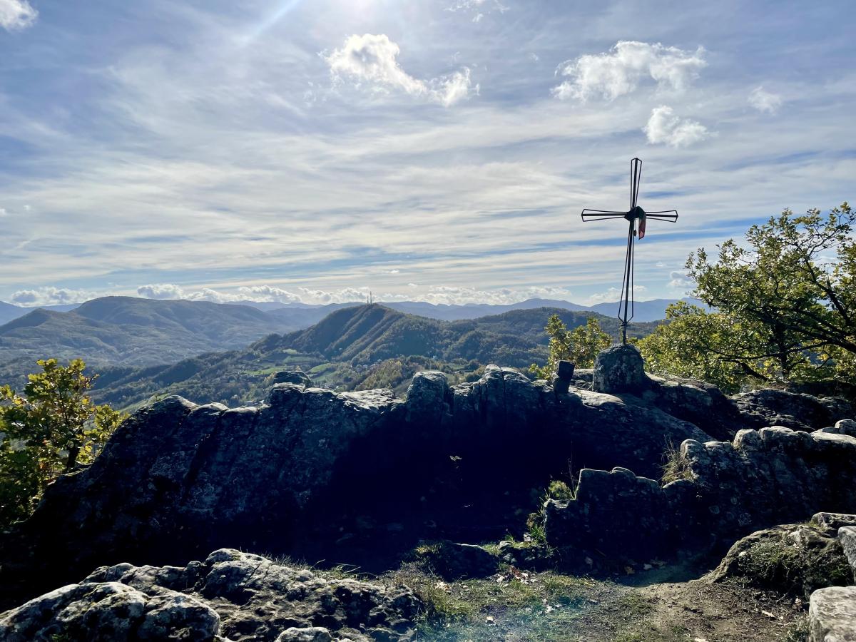
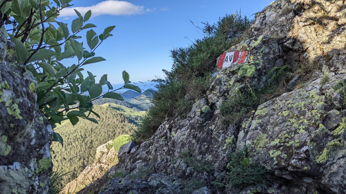
In northern Italy, the E1 will first pass through the Po Valley before continuing along the Apennines - partly on well-known hiking trails such as the Alta Via dei Monti Liguri or the Grande Escursione Appenninica (GEA) - to southern Italy.
The continuous long-distance hiking trail currently ends south in Fortino near Sanza in Campania. In Sicily, a short section of the route has so far been completed in the area of Mount Etna; the remaining sections are currently being planned.


Stage overview
Links
Links, hiking reports and blogs
Enrosadira
Information about the E1 in italy
E1 in Umbria
(german)
FIE Maps
(Incomplete) digital map of the E1 in Italy.
FIE Italia
Website of the Italian Hiking Federation FIE on the E1 (in italian).
https://www.fieitalia.com/fie/cosa-facciamo/i-sentieri/sentieri-europei/sentiero-europeo-e1/
Literature


GPX-Download
| E1-Stages in Italy | Download Tracks (.gpx) |
| Addomodation in Italy | Download POIs (.gpx) |
The download and many of the services offered on this page are free of charge. However, I would greatly appreciate a small donation as a token of appreciation for my work! This can be done through Paypal or a supporting membership. Thank you very much!